


Land for sale in Febres, Cantanhede RE/MAX Portugal
 1 / 20
 2 / 20
 3 / 20
 4 / 20
 5 / 20
 6 / 20
 7 / 20
 8 / 20
 9 / 20
 10 / 20
 11 / 20
 12 / 20
 13 / 20
 14 / 20
 15 / 20
 16 / 20
 17 / 20
 18 / 20
 19 / 20
 20 / 20
Click to see bigger photos
- Video Watch
- Property typeLand
- Sale € 15.000
- Area1204 m²
- CountyCoimbra
- TownCantanhede
- ParishFebres
- REFPT-124821047-5
-
-
-
1204 m²
-1
-
...
Description
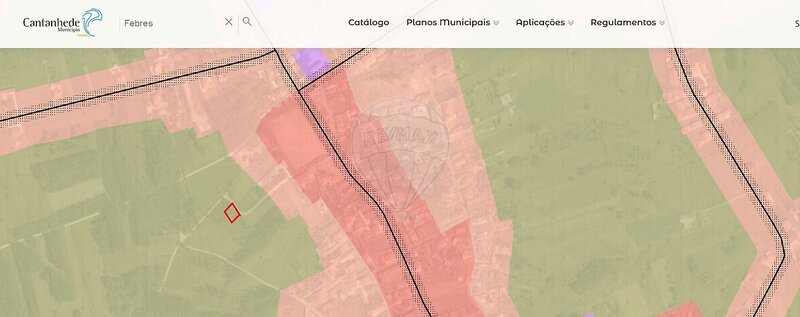
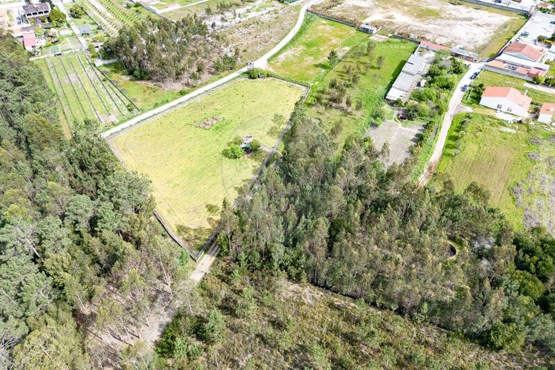
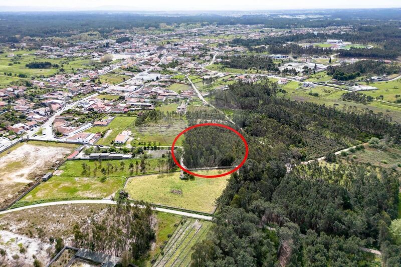
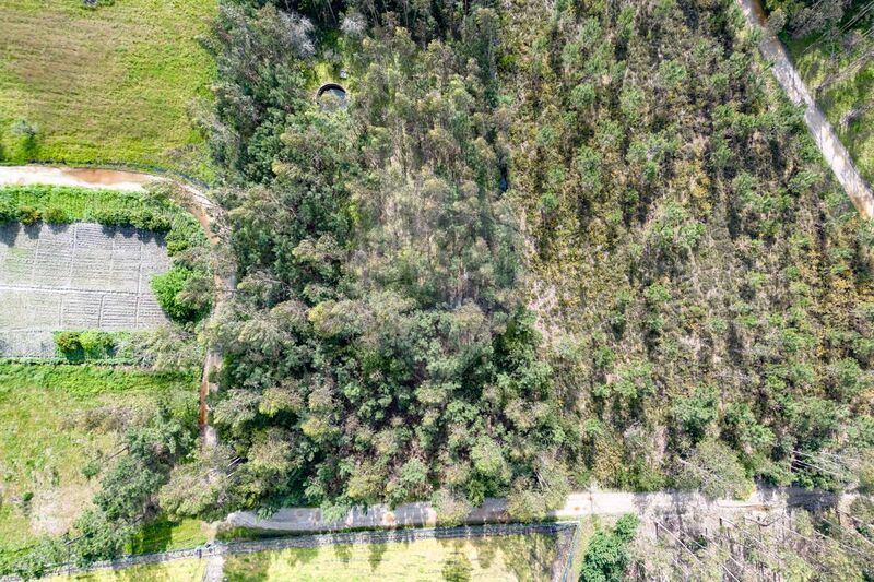
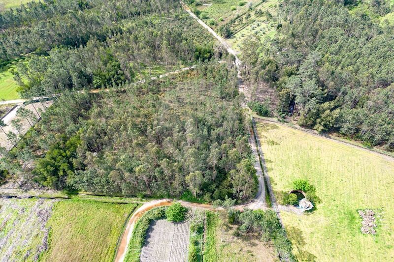
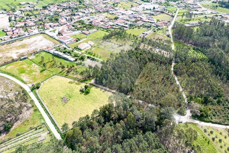
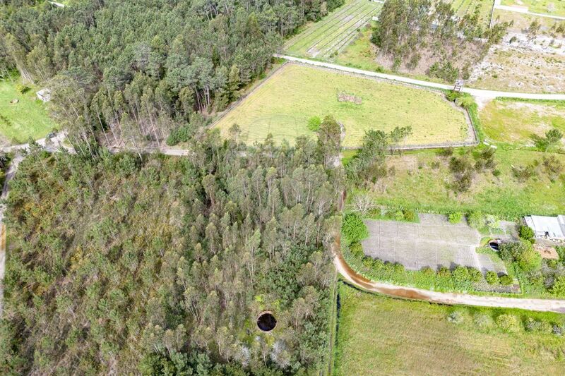
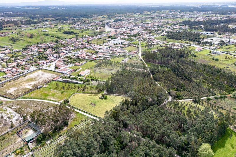
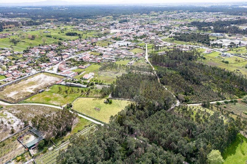
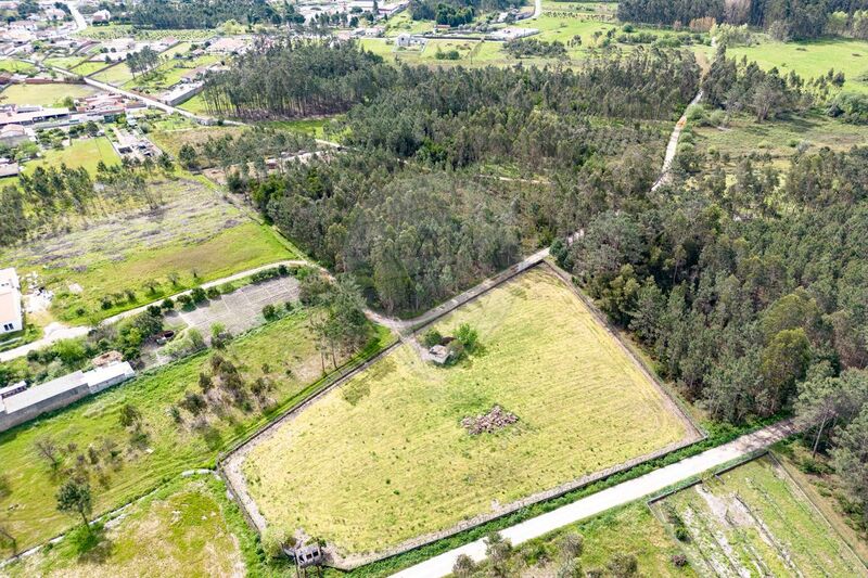
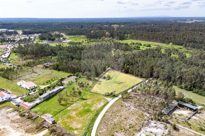
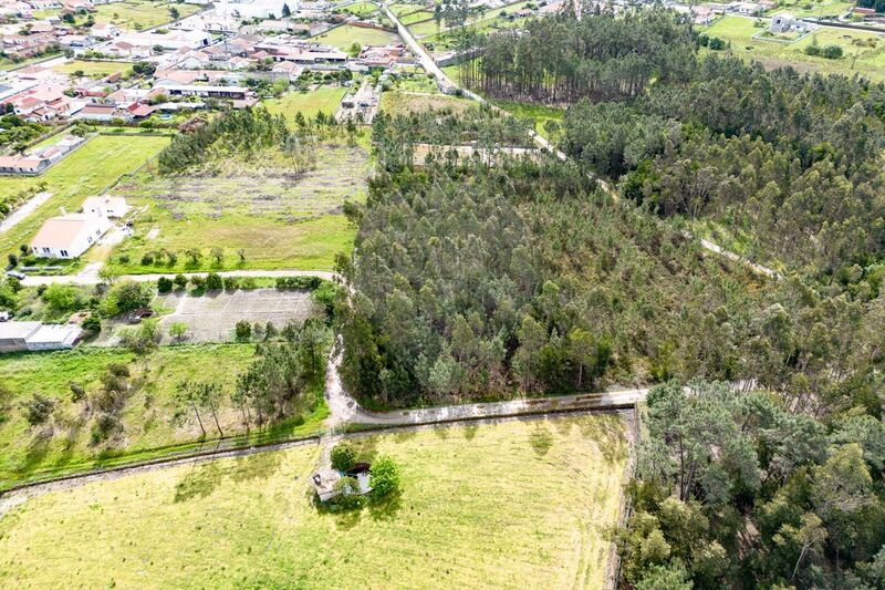
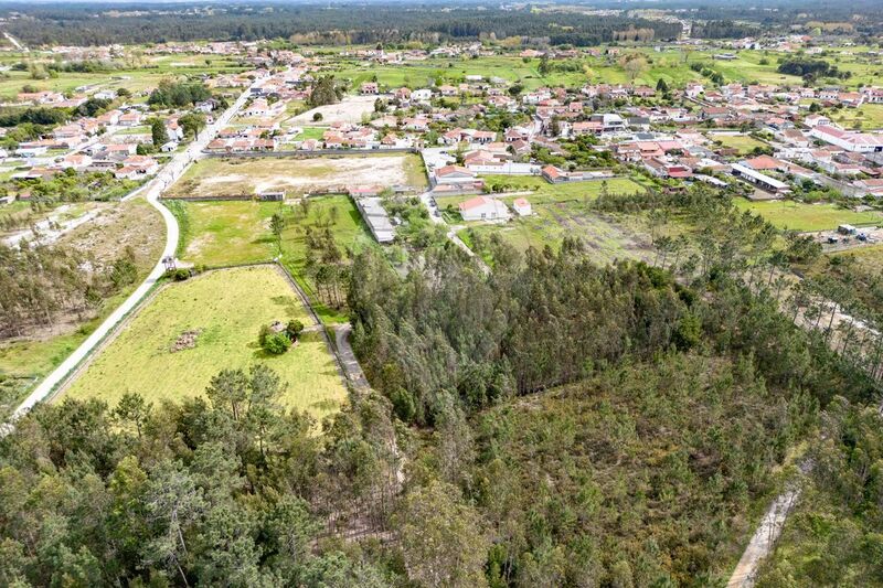
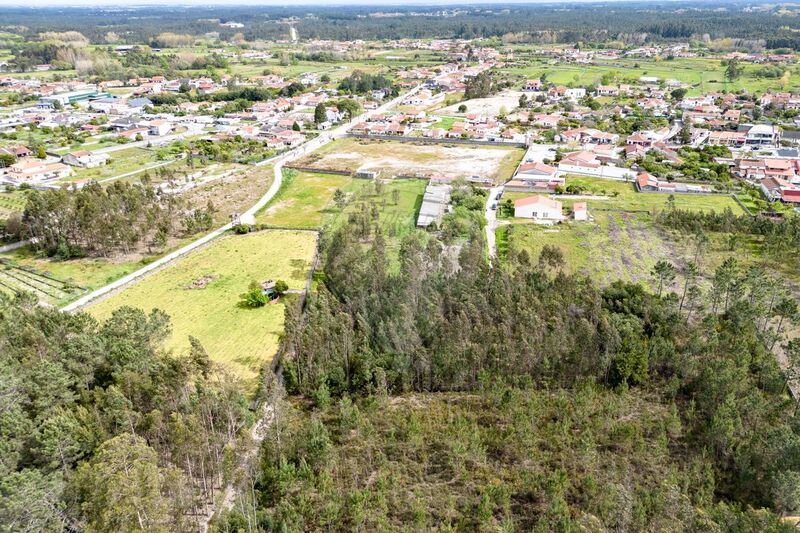
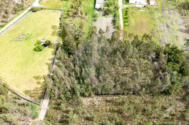
LAND, AGRICULTURAL SPACE IN THE TOWN OF FEBRES - CANTANHEDE.
Land located in the area of Cabeços Norte in the town of Febres.
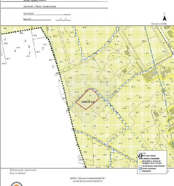
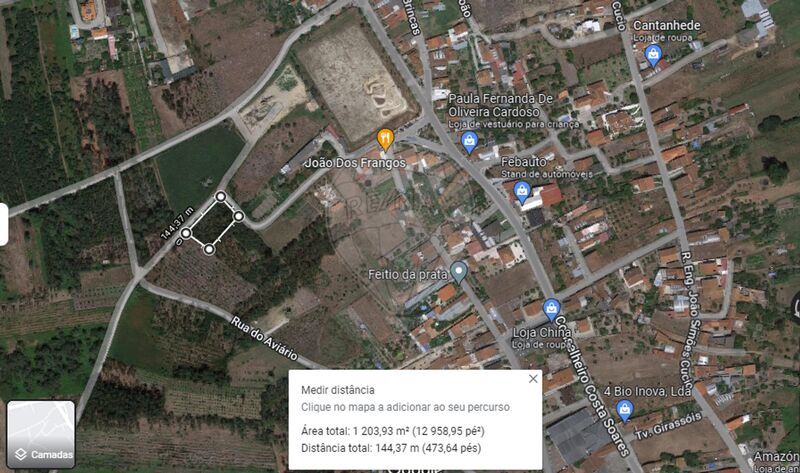
The land has a total area of 1204sqm and confronts the North with a path and the Rising with a servitude.
Coordenadas GPS: 40.405323, -8.637870
Arrange your visit today!
________________________________________________________________________________________
RURAL LAND, AGRICULTURAL PROPERTY IN THE VILLAGE OF FEBRES - CANTANHEDE.
The land is situated in the Cabeços Norte area of the village of Febres.
The plot has a total area of 1,204sqm and borders a track to the north and an easement to the east.
GPS coordinates: 40.405323, -8.637870
Book your viewing today!
__________________________________________________________________________________________
RURAL LAND, AGRICULTURAL LAND IN THE MUNICIPALITY OF FEBRES - CANTANHEDE.
Land located in the area of Cabeços Norte, in the municipality of Febres.
The land has a total area of 1 204sqm and faces north on a road and to ballast on an easement.
GPS coordinates: 40.405323, -8.637870
Book your viewing today!
Land located in the area of Cabeços Norte in the town of Febres.
The land has a total area of 1204sqm and confronts the North with a path and the Rising with a servitude.
Coordenadas GPS: 40.405323, -8.637870
Arrange your visit today!
________________________________________________________________________________________
RURAL LAND, AGRICULTURAL PROPERTY IN THE VILLAGE OF FEBRES - CANTANHEDE.
The land is situated in the Cabeços Norte area of the village of Febres.
The plot has a total area of 1,204sqm and borders a track to the north and an easement to the east.
GPS coordinates: 40.405323, -8.637870
Book your viewing today!
__________________________________________________________________________________________
RURAL LAND, AGRICULTURAL LAND IN THE MUNICIPALITY OF FEBRES - CANTANHEDE.
Land located in the area of Cabeços Norte, in the municipality of Febres.
The land has a total area of 1 204sqm and faces north on a road and to ballast on an easement.
GPS coordinates: 40.405323, -8.637870
Book your viewing today!
Location
Febres, Cantanhede, Coimbra
